


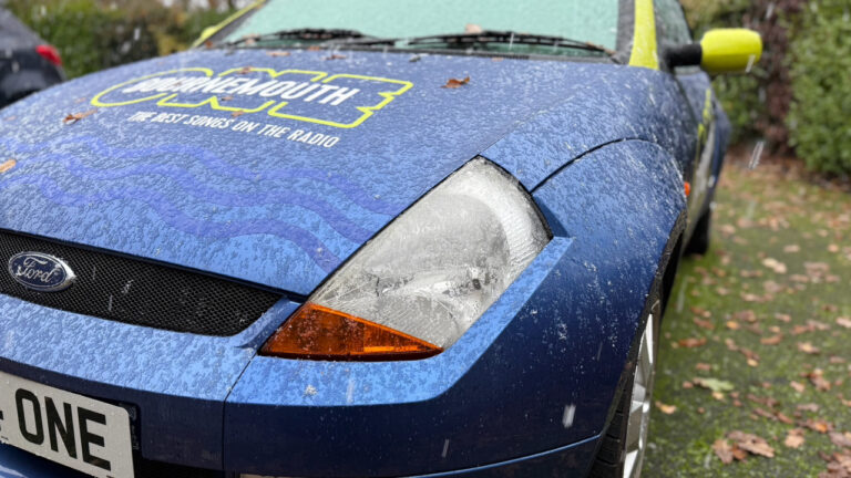
Two yellow weather warnings are in force for east Dorset and the south coast as colder conditions follow recent rainfall.
Wet surfaces combined with temperatures close to or below freezing could lead to icy patches on untreated roads and pavements from Sunday night into Monday morning, while a few fog patches may also create additional hazards for drivers, cyclists and pedestrians.
The warning reflects uncertainty around cloud cover, which will affect how low temperatures fall overnight, but people are being advised to take extra care when travelling, allow more time for journeys and use main roads where surfaces are more likely to have been treated.
The 2nd yellow warning highlights the risk of further rainfall on Monday and into Tuesday, with the potential for localised flooding and disruption in some areas.
Rain may become persistent at times, particularly later on Monday and overnight, with already saturated ground increasing the chance of surface water flooding, difficult driving conditions and possible delays to bus and train services.
Residents are being encouraged to stay up to date with forecasts, check road and travel conditions, and prepare for possible disruption, including power cuts, as weather warnings can change quickly.
We’ll keep you updated here and on Bournemouth One.