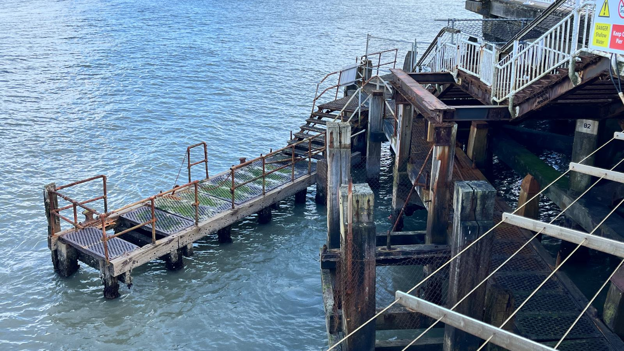

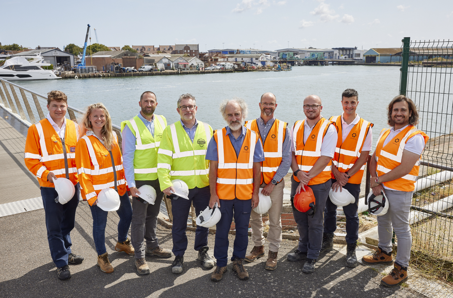

Work is getting under way on new flood defences to protect parts of Poole.
The scheme will see 1.5km of new infrastructure built from Poole Bridge to Hunger Hill, reducing tidal flood risk in Poole town centre, Poole Old Town and surrounding areas as sea levels rise over the next century.
Bournemouth, Christchurch and Poole Council is working with the Environment Agency, landowners and other organisations on the project, which is designed to protect homes and businesses and support longer-term regeneration.
More than 570 properties currently face a present-day flood risk. The council says that figure could rise to more than 2,000 properties over the next 100 years if no work was carried out.
Councillor Andy Hadley said the eastern side of Holes Bay is “the last remaining undefended waterfront in the town centre” and described the work as “a major milestone” for flood resilience.
He said sea walls will need to be raised at intervals to keep pace with climate change and rising sea levels, while the protected nature of Holes Bay affects when and how work can take place.
Ground raising works at Slip Way, between the RNLI buildings, were completed in July 2025.
Preparation for the next phase, alongside the A350, Holes Bay path and Lifeboat Quay, started on 18 May.
Knights Brown said a temporary lane closure on Holes Bay Road will be reintroduced, while the Holes Bay path will stay open for as long as possible before a diversion via Sterte Green is reinstated.